Zoning & Future Land Use Map
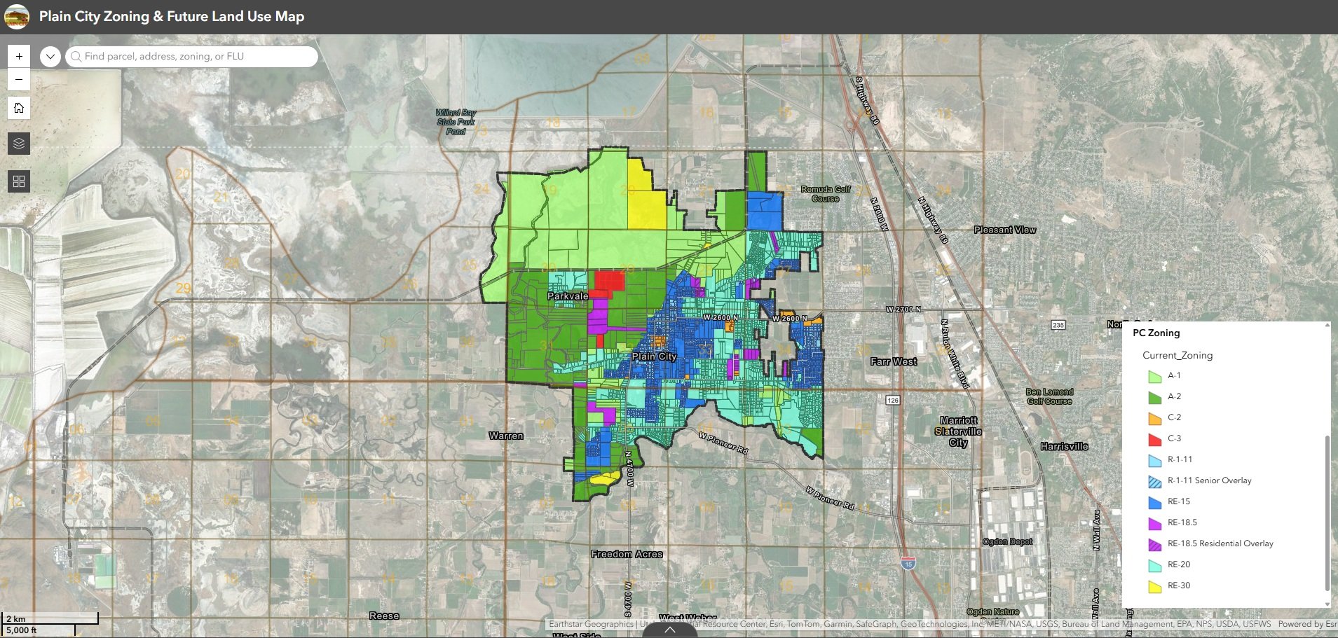
When a city's zoning data lives in a CAD file, it's harder to use than it needs to be. We took a city's historical zoning and future land use data out of CAD and rebuilt it as a fully queryable GIS map that city staff can access digitally, share with developers instantly, and update as planning decisions evolve.
The city engineer now uses the map to calculate zoning areas for capital facilities planning, staff can look up any parcel in seconds, and developers get the information they need without a back-and-forth process. It's a living document that grows with the city rather than a static snapshot that goes out of date.