Water System Infrastructure Map
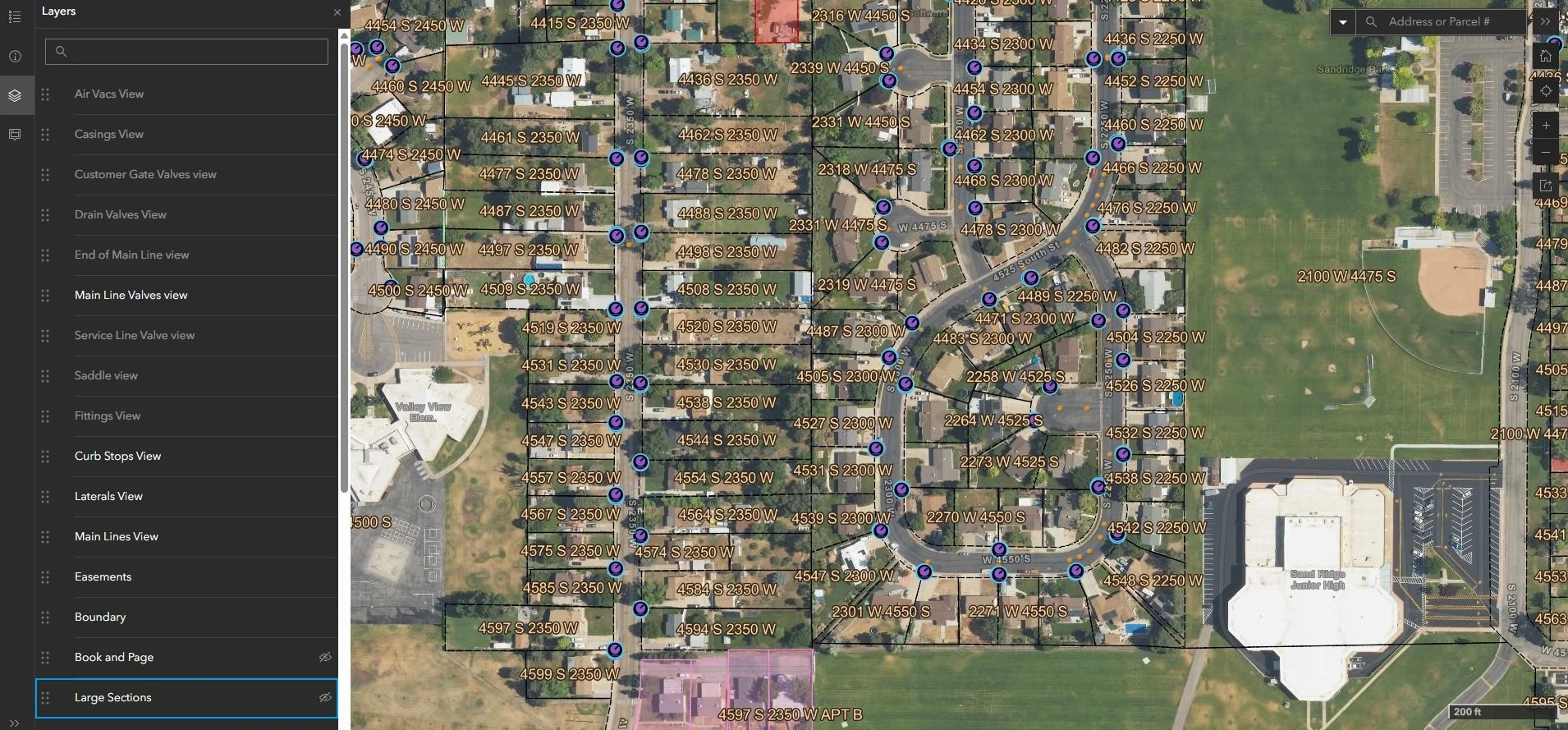
We partnered with a water conservancy district to build their GIS system essentially from scratch, starting with a modest budget and a clear roadmap developed alongside the district director, maintenance director, engineer, and front office staff. The goal was a system that every part of the organization — field crews, office staff, and engineers — could actually use.
We converted their existing CAD data into GIS, built out a two-map system using ArcGIS Online, Survey123, and Field Maps, and connected field crews to survey-grade GPS collection through Trimble units paired with iPads. The maps include inspection forms for both annual and construction inspections, keeping the whole team on the same page from the field to the office.
When the district took on a large-scale meter installation project involving over 13,000 meters, we extended the system to handle all of the data collection that came with it. We also wrote a custom Python script that automated the printing of individual parcel maps — one for each parcel in the district — reducing what would have been a months-long manual task to just a few days.
In total, the project produced over 100,000 new data points in a matter of months, and the system continues to grow as a living record of the district's infrastructure. It's the kind of solution that pays for itself quickly and keeps delivering value long after the initial buildout is done.