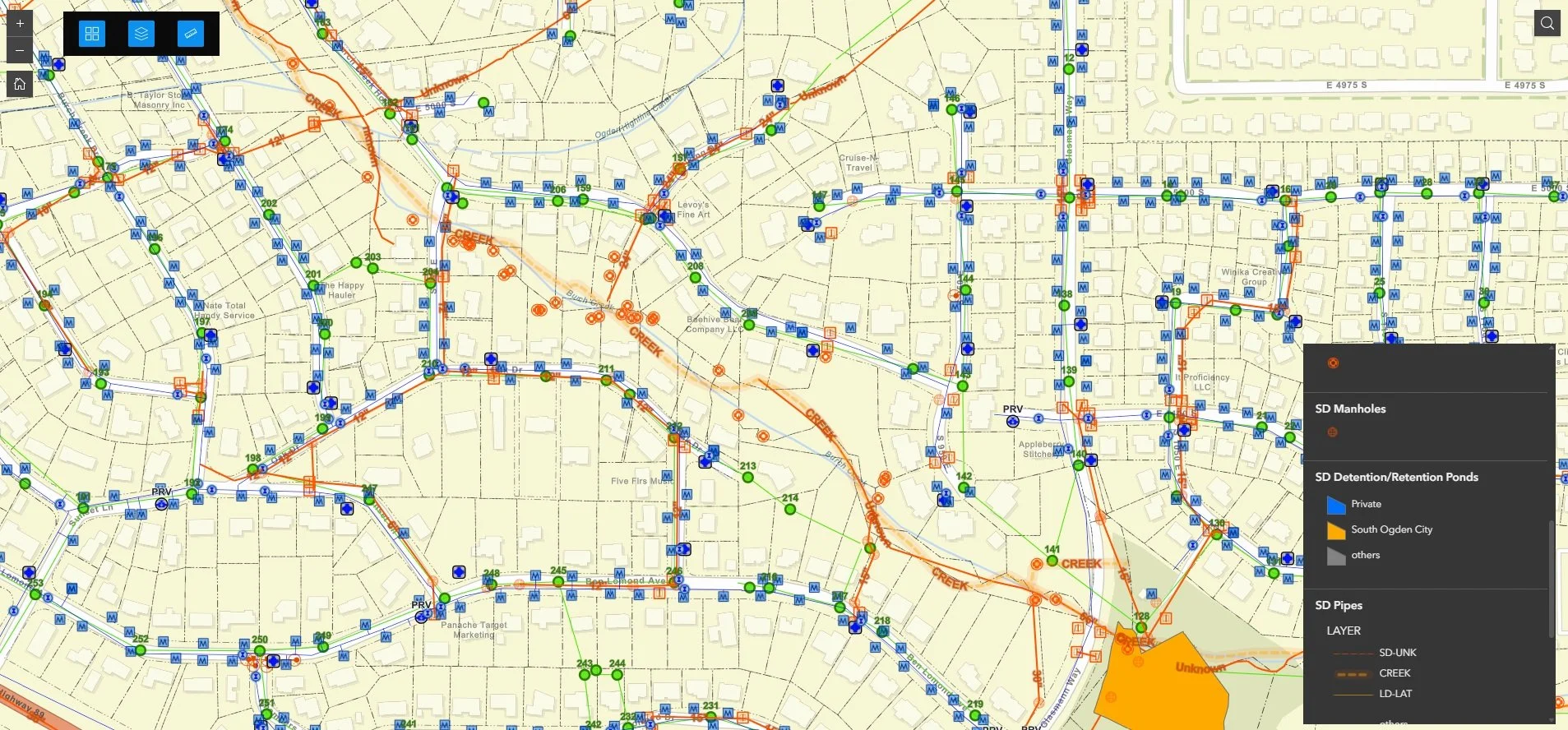
City Utility Infrastructure Map
When a city's utility data lives on paper, every emergency response, inspection cycle, and compliance report is harder than it needs to be. We partnered with a city's public works department, fire department, and engineers to change that.
Using ArcGIS Pro, ArcGIS Online, Survey123, and Field Maps, we transferred historical survey data and paper maps into a comprehensive GIS utility system covering the entire city. We replaced 10 legacy paper forms with digital equivalents — covering fire hydrant inspections, manhole inspections, illicit discharge tracking, and more — so data collected in the field is instantly available back at the office.
Public works teams now respond to emergency water system breaks with accurate, up-to-date utility data at their fingertips. Inspection tracking is centralized and consistent. And reporting to the Department of Environmental Quality and other agencies is a fraction of the effort it used to be. It's the kind of system that pays dividends every single day.